Pick your field. Find rotations that fit your climate.
Turn satellite observations and soil measurements into climate-smart crop rotations tailored to what matters most on your farm.
Tap the arcs to preview season requirements. Kharif-1 pulses fix soil nitrogen before monsoon rice.
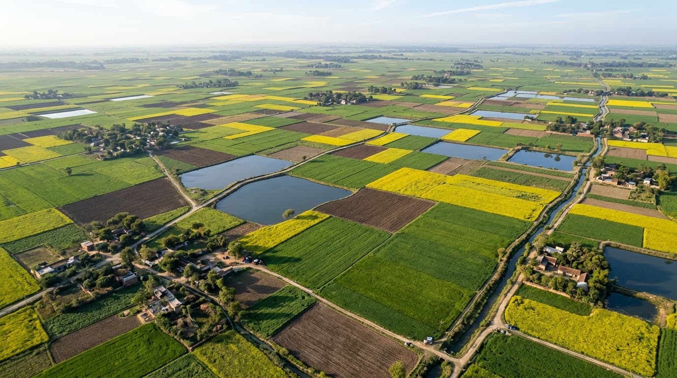
Adapting Farms with Ground-Truth and Satellite Earth Data
Continuous flooded boro rice has dropped Barind groundwater from 26 ft to over 113 ft. FarmScale introduces high-value mustard and legume rotations that restore the aquifer while boosting net profit.
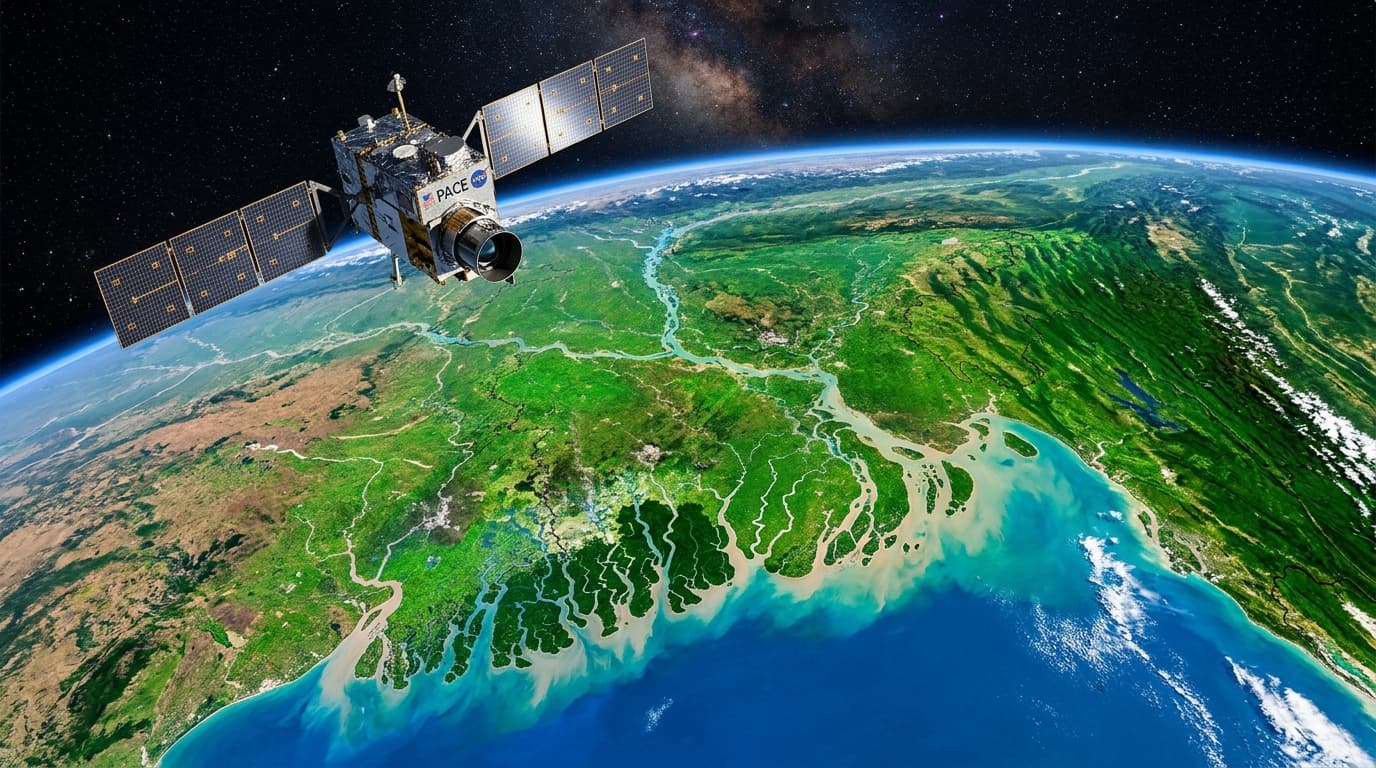
Uses NASA Earth data
Satellite-derived precipitation, soil moisture, and temperature histories. Coarse gridded climatology calibrated for the Barind delta.
Shows its reasoning
Every rotation card displays the exact data signals and sources behind its rank. Every recommendation explicitly explains its water savings and soil recovery.
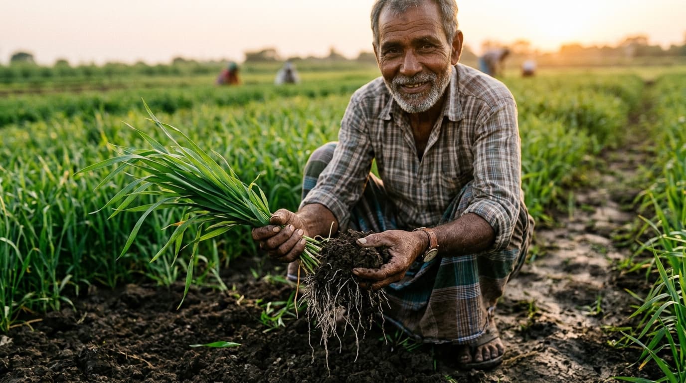
Built for farmers and extension
Designed for mid-range phones, unstable connectivity, and clear decisions. Works smoothly at 360px on rural Android phones with offline persistence.
Zero heavy runtime CSS libraries. Instant sub-300ms priority re-ranking.